The Crooked River
The Crooked River runs dry
How can we restore Central Oregon’s largest tributary?
From the western edge of Oregon’s sagebrush desert to the towering pines of the Ochoco Mountains, the Crooked River and its tributaries drain the southeastern lobe of the Deschutes Basin, an area encompassing nearly all of Crook County and extending into five others, including Deschutes, Grant, Wheeler, Lake, and Harney. The Crooked River is a critically important area for native fish and wildlife and an iconic Central Oregon waterway—and it’s drying up, bringing the urgent need for improved water management into stark relief.


Across the west, conditions are recognized as the driest on record for at least the past 1,200 years. The Crooked River Basin is experiencing the most intense drought anywhere in the state. Since the spring of 2020, extreme and exceptional drought conditions–the highest measured categories–have maintained a firm grip on Crook County, and fish and wildlife are feeling the effects.
“ A robust streamflow monitoring system is a key step toward the Basin’s recovery. ”
Nearly two years ago, the Deschutes Basin Habitat Conservation Plan (HCP) was adopted to respond to the concerning decline of several fish and wildlife species. The HCP is an agreement between irrigation districts and federal agencies meant to reduce the harmful effects of irrigation on fish and wildlife. Intended to last for three decades, the plan is already falling short.

Water released from the Prineville Reservoir at Bowman Dam, Fall 2022. Jeremy Austin
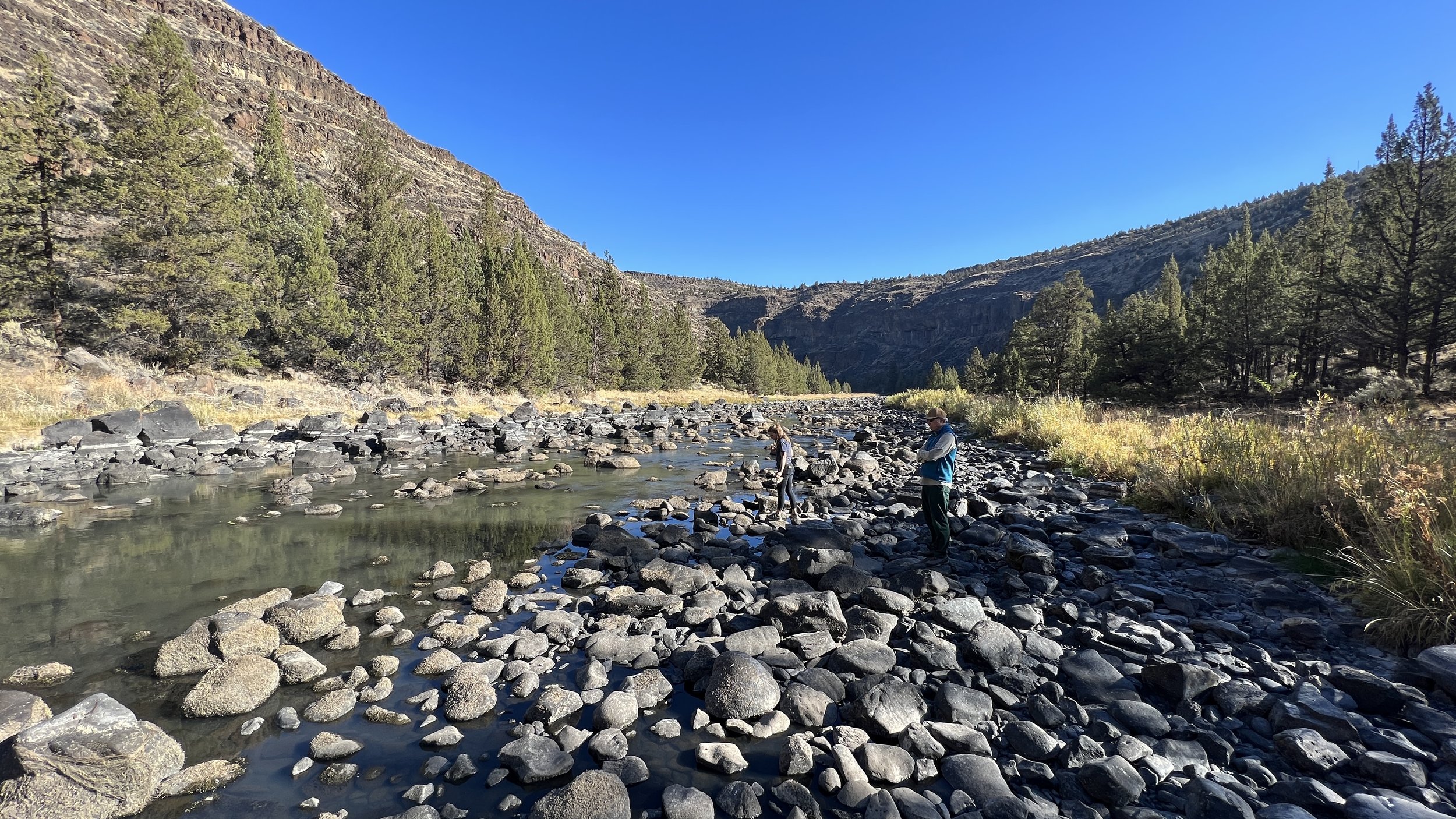
Nowhere has that been more clear than in the Crooked River, where streamflows reached historic lows this fall.
During fall and winter months, when irrigation canals are not diverting water from the Crooked River, the Habitat Conservation Plan requires Bowman Dam to release a minimum flow of 50 cubic feet per second (cfs).
This minimum flow requirement is meant to keep the Crooked River running to support riparian ecosystems, fish, and wildlife. However, this September, the U.S. Fish and Wildlife, Bureau of Reclamation, and National Marine Fisheries Service took an alternative approach to managing the flows out of Bowman Dam.
After the irrigation season ended, flows out of the dam were reduced to record lows of just 10 cubic feet per second (cfs). This amount fell far below the 50 cfs outlined under the Habitat Conservation Plan and well below the minimum flows needed to support healthy fish and wildlife populations. With the dramatic flow reduction from Bowman Dam, the river may not even reach Prineville.
Big Bend Campground, Fall 2022. Caitlyn Burford
A river in crisis
This year’s approach to managing flows is impacting the most ecologically intact section of the Crooked River, stranding native fish, creating low oxygen and extreme temperature environments, and depleting macroinvertebrate communities during the key foraging months just before winter.
LandWatch recognizes the challenges drought conditions present. There’s no simple answer, but the Crooked River reveals that current management is not sufficient to ensure the survival and recovery of native fish and wildlife in our riparian ecosystems, particularly in light of a changing climate. Meant to protect habitat, the conservation measures adopted under the Habitat Conservation Plan failed to adequately consider the current drought and climate reality.
How will water managers ensure the river won’t run dry next year? What will happen if drought conditions extend for another decade?

Opal Springs provide an influx of cold water to the Crooked River, just north of Lake Billy Chinook: Jeremy Austin
Exploring data-driven solutions
Where we go from here is not entirely clear, but we do know a robust streamflow monitoring system is a key step toward the Basin’s recovery.
LandWatch is committed to improving how water is managed; we are fighting to increase stream flows, reduce waste, and make it easier to move water to where it is needed most. To accomplish this goal across a vast landscape, we must begin with an accurate and accessible system to monitor water levels. We can’t enforce what we can’t measure.
The Wild Lands and Water Program at LandWatch has been working to develop an automated system that facilitates real-time assessments of existing instream monitoring data in the Deschutes Basin.
Using this data, LandWatch can better determine whether key stream reaches are meeting established conservation standards and objectives. We are excited to launch this tool in the coming months and explore data-driven solutions to respond to conditions on the ground.
On behalf of our supporters, we serve as a watchdog for state and federal water policy in the Deschutes Basin, determined to fight for what is working and fix what isn’t. As we observe the implementation of the Habitat Conservation Plan, we will be monitoring the instream flows of Central Oregon’s rivers and streams and using those tools to advocate for improved management across the region.
Want to learn more? Reach out to Jeremy Austin, Wild Lands & Water Program Manager, at jeremy@colw.org.