
Deschutes Basin Habitat Conservation Plan
Implementation Compliance Dashboard
The Deschutes Basin Habitat Conservation Plan (HCP) went into effect at the beginning of 2021, following 12 years of negotiations.
It is a vast, complex agreement between federal agencies and local irrigation districts that is meant to protect threatened and endangered species in the Upper Deschutes Basin while providing legal cover for irrigation districts to continue pulling water from our rivers if they meet the HCP’s requirements, as defined by a set of 28 conservation measures.
Since its adoption, Central Oregon LandWatch has maintained that the HCP’s requirements do not adequately ensure the health of our rivers, fish, and wildlife, nor do they guarantee adequate water supply for the Basin’s remaining productive farmers.
However, there have never been readily available, accessible resources to help the public understand the irrigation districts’ compliance with even the relatively minimal ecological protections of the HCP.
To fill this gap, LandWatch has developed a monitoring tool that uses live streamflow data and allows us to track irrigation districts’ compliance with the HCP’s conservation measure requirements in real time.
This dashboard highlights how water moves throughout the Deschutes Basin and captures where irrigation districts are falling short of their legal obligations to the Deschutes Basin’s most imperiled fish and wildlife species.

Upper Deschutes River
For the purposes of the Habitat Conservation Plan, the portion of the Deschutes River between the headwaters at Little Lava Lake and the North Canal Dam on the north end of Bend is considered the “Upper Deschutes River,” with the “Middle Deschutes” running from below North Canal to Lake Billy Chinook. This stretch runs mostly south to north, and picks up tributaries including Crescent Creek, the Little Deschutes River, the Fall River, and Paulina Creek before reaching Bend. This reach also includes Crane Prairie Reservoir and Wickiup Reservoir, which is the second largest reservoir in Oregon.
The Upper Deschutes River provides habitat for many species, including redband trout and the threatened Oregon spotted frog, which has one of its last remaining strongholds in the areas between Crane Prairie and LaPine State Park. Maintaining adequate and (relatively) stable flows in the Upper Deschutes is critical to the spotted frog’s ability to reproduce and survive. As the river runs from the south end of Bend to the North Canal Dam, irrigation districts divert roughly 90 percent of the river’s water out of stream during summer months.
Central Oregon Irrigation District, North Unit Irrigation District, Lone Pine Irrigation District, Arnold Irrigation District, Swalley Irrigation District, and Tumalo Irrigation District all rely on water from either reservoir storage or live streamflow in the Upper Deschutes.
-
CP-1(A) | Crane Prairie Reservoir Operation
From March 15 through July 15, the water surface elevation of Crane Prairie Reservoir will be maintained between 4,443.23 feet and 4,443.48 feet, which correspond to storage volumes of about 46,800 acre-feet and 48,000 acre-feet, respectively.
CP-1(F) | Crane Prairie Reservoir Operation
The minimum instream flow in the Deschutes River between Crane Prairie Dam and Wickiup Reservoir (CRAO) will be 75 cfs at all times unless total inflow to the reservoir is not sufficient to maintain this level of instream flow and meet the water surface elevations requirements in Items A through D. When total inflow is not sufficient to maintain a minimum instream flow of 75 cfs and meet the water surface elevation requirements in Items A through D, the instream flow at CRAO may be reduced to 30 cfs. If total inflow to the reservoir is not sufficient to meet the water surface elevation requirements in Items A through D and maintain an instream flow of 30 cfs, the instream flow will remain at 30 cfs and the water surface elevation requirements in Items A through D will be relaxed until such time as inflow increases.
WR-1(A) | Wickiup Reservoir Operation
From April 1 through September 15, flow at WICO will be at least 600 cfs. An adaptive management element will be used to test whether going directly to 600 cfs by April 1 provides enhanced survival of OSF. In coordination with USFWS, flows may be set at 400 cfs by April 1 and increased to 600 cfs within the first 2 weeks of April. Annual snow pack, weather and in-stream conditions will inform this decision.
Crooked River
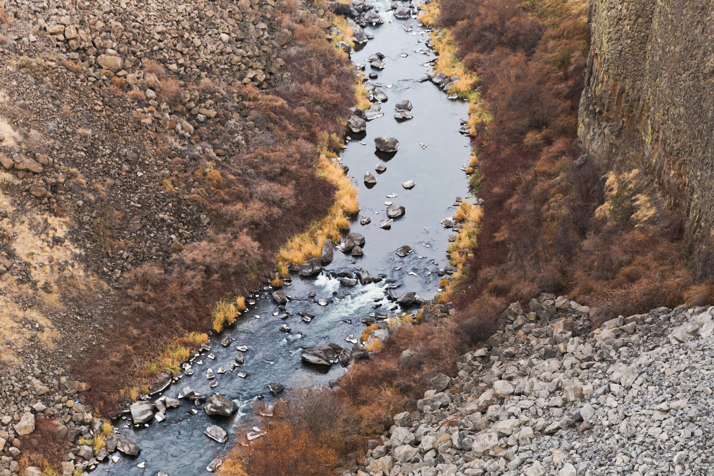
The Crooked River begins at the confluence of the South Fork Crooked River and Beaver Creek on the south slope of the Ochoco Mountains. From its starting point in eastern Crook County, the Crooked runs 125 miles to the confluence with the Deschutes River at Lake Billy Chinook, passing through Post, Prineville, and Smith Rock State Park along the way.
Historically, the Crooked River subbasin, which also includes the tributaries McKay Creek and Ochoco Creek, has been a steelhead stronghold. For decades, though, irrigation diversions and dams have largely blocked anadromous fish passage, including a full barrier at Bowman Dam, which impounds Prineville Reservoir.
North Unit Irrigation District, Ochoco Irrigation District, and the City of Prineville are the HCP permittees diverting water from the Crooked, Ochoco, and McKay.

Whychus Creek
Whychus Creek is a historic steelhead and Chinook salmon stronghold running roughly 41 miles from the base of Broken Top to its confluence with the Deschutes River near Alder Springs. Without reservoirs, its flows rely entirely on springs and snowmelt.
Although Whychus once provided homewaters for substantial steelhead and salmon populations, dewatering for irrigation has decimated those runs since the late 1800s. For years, Whychus Creek ran dry through the city of Sisters every summer, until piping efforts by the Three Sister Irrigation District (TSID) restored minimal year-round flows by permanently returning some water rights instream. These flows may be insufficient to maintain adequately low stream temperatures and reliably support salmon and steelhead’s life history needs.
-
WC-5 | Whychus Creek Diversion Ramping Rate
When the flow in Whychus Creek downstream of TSID’s diversion (measured at OWRD Gage
14076020) is 30 cfs or less, the amount of water being diverted will not be increased or
decreased more than 5 cfs/hour. When the flow at OWRD Gage 14076020 is between 30 and
50 cfs, the amount of water being diverted will not be increased or decreased more than 10 cfs/hour. TSID may reduce diversions faster than these rates during emergency conditions to maintain human safety and/or protect infrastructure.