
Planning for Wildfire Resilience
Today, wildfire seasons are longer, hotter, and more destructive than ever.
Climate change, outdated policies, and rapid development in fire-prone areas are raising the stakes and turning a natural process into a community crisis.

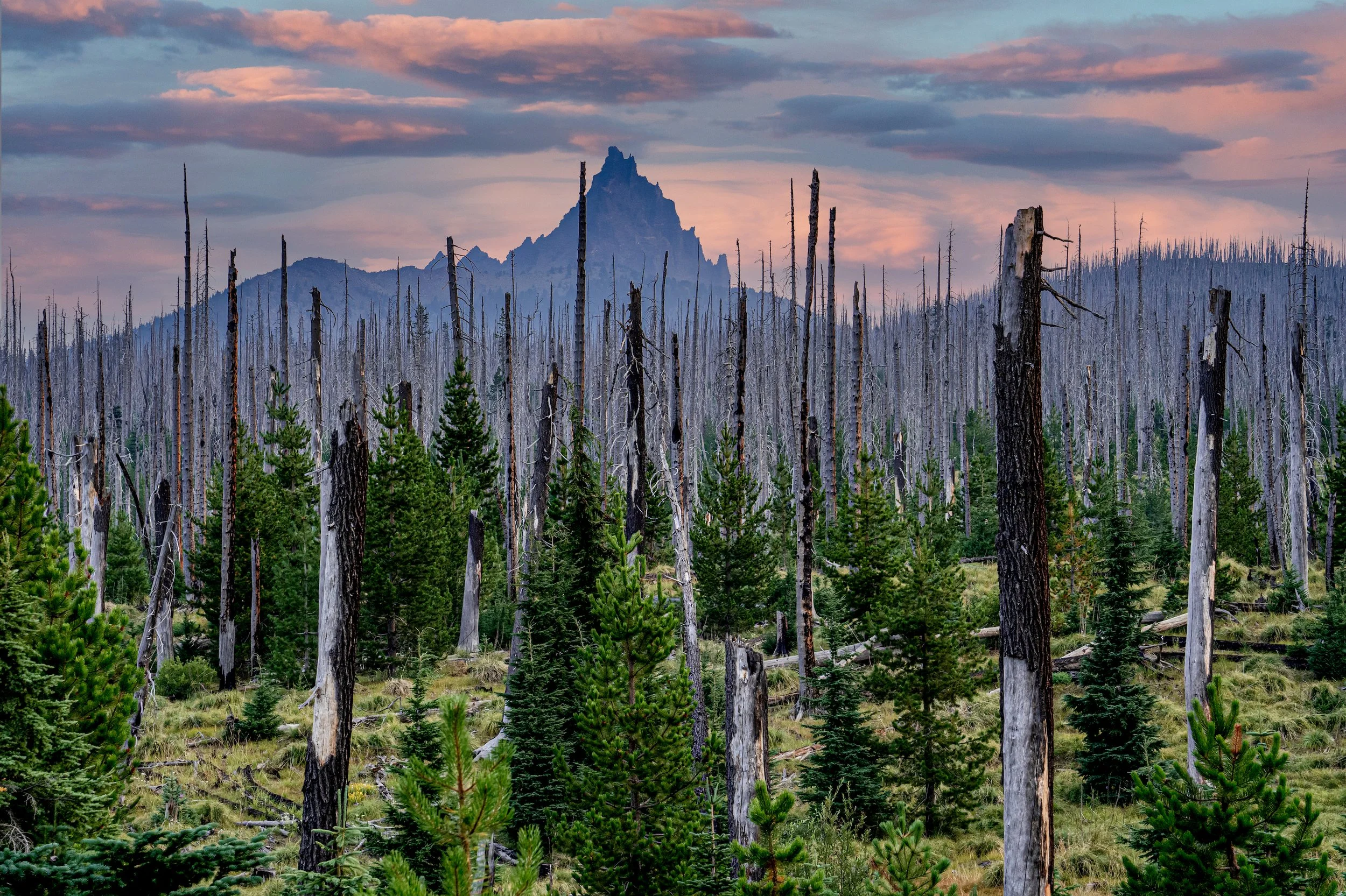
Fire is a natural part of life in Central Oregon.
Native plants and animals have evolved to coexist with the natural fire that has shaped our region’s fire-adapted landscapes for millennia. Now, we must evolve too—by planning communities to coexist with fire.

LandWatch believes we can coexist safely alongside wildfire.
Oregon’s visionary land use planning system provides us with the necessary tools to reduce risk and build resilience.
By steering growth into safer areas, avoiding development in high-risk zones, and promoting defensible space around our cities and towns, we can reduce the threat of destructive wildfire before it reaches our doorsteps.
Stopping every wildfire simply isn’t possible—but designing our communities with fire in mind is achievable and necessary.
Learn More About Forest Ecology, Wildfire Preparedness, and the Wildland Urban Interface

